CH-0070 · RESEARCH DRAFT
Labrador boundary ruling
The Judicial Committee of the Privy Council decided the Canada–Newfoundland Labrador boundary dispute on March 1.
Not publication-ready.
- Historical place
- Labrador Peninsula
- Present-day context
- Labrador Peninsula — navigation aid, not historical jurisdiction
- Peoples named in this record
- Canada, Newfoundland, Indigenous peoples of Labrador
- Review state
- source supported draft — source-supported draft is not independent verification
- Catalogue updated
- 2026-10-11
- French text
- Translation pending; English research text shown.
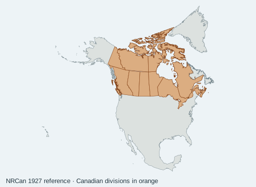
Map context
No territorial polygon or coordinate is asserted in v1. Modern location labels are orientation aids, not historical boundaries.
Source evidence
-
Privy Council documents introduction
Memorial University: Newfoundland and Labrador Heritage · institutional history · Review: search excerpt
Recorded retrieval date: 2026-10-11. This date does not prove a complete document was reviewed.
Institutional interpretation is not automatically independent corroboration. Consult nation-authored histories and underlying records before editorial approval.