Explore places, political boundaries and the records behind them.
159 research drafts, not verified findings. Sources vary in review depth; some were read only as search excerpts. Dates, translations and historical geometry remain incomplete. Missing records do not mean nothing happened.
Political map snapshots
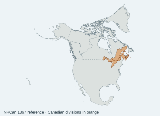
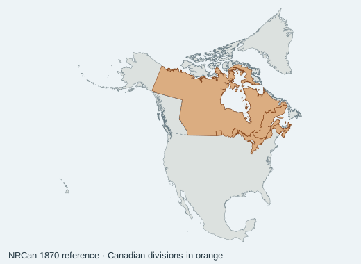
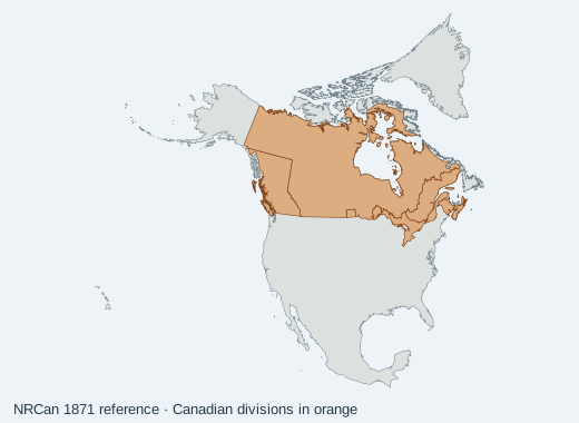
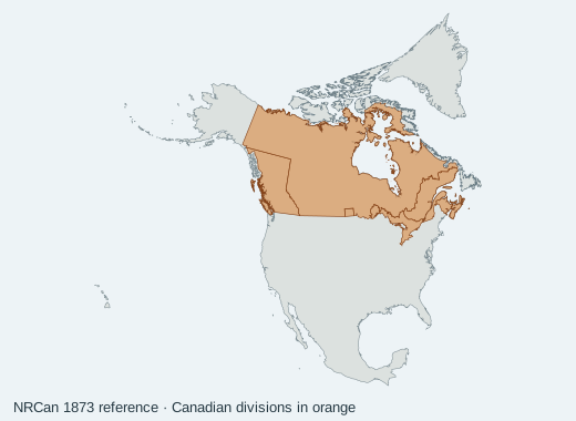
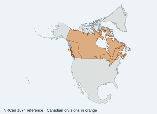
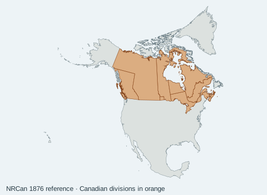
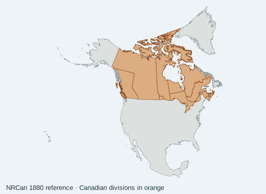
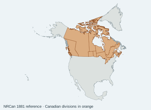
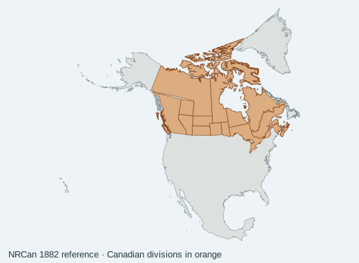
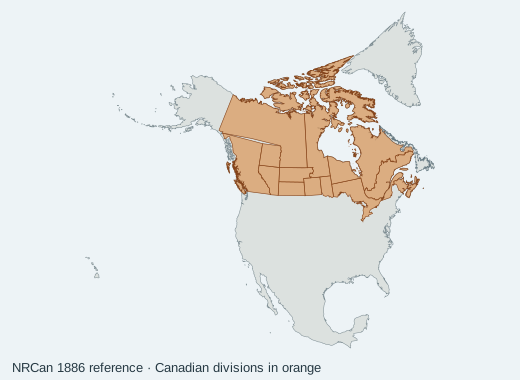
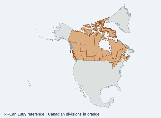
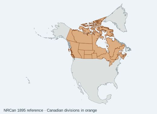
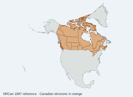
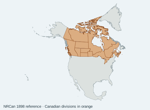
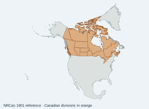
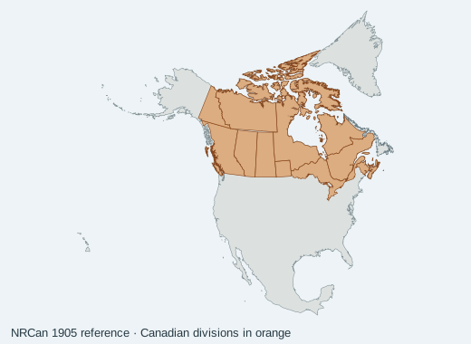
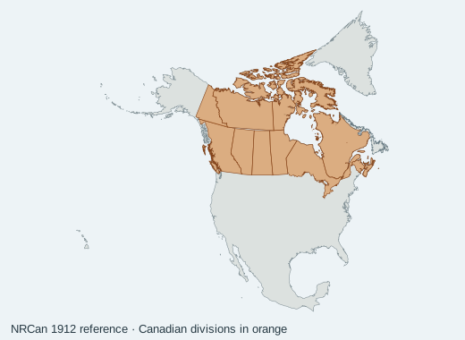
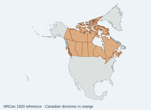
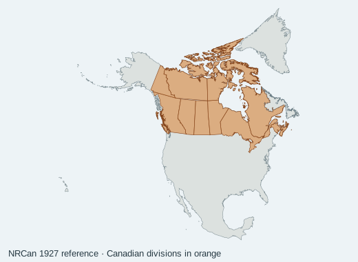
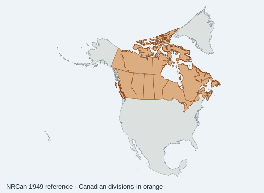
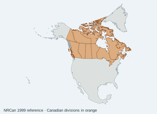
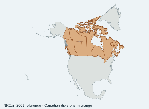
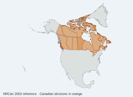
These are generalized, source-derived maps from 1867 onward. They do not reconstruct Indigenous territories, pre-1867 boundaries, exact municipal boundaries, or legal treaty areas.
1867 snapshot. Within-year legal commencement dates are unresolved.
1867 · source-derived political reference
A preceding snapshot is an administrative reference, not a calculated area of territorial gain or loss. Map controls do not filter the event catalogue below.
Adapted from Natural Resources Canada; includes generalized modern geographic reference. Not an archival photograph or legal boundary determination. Contains information licensed under the Open Government Licence — Canada. Made with Natural Earth. No government endorsement is implied.
Present-day regions are navigation aids, not jurisdictions at the event date. “Arctic” groups northern records; it does not place every northern city in the geographic Arctic. Undated records are excluded from year searches.
The Québec Act changed the colony’s constitutional arrangements, expanded its boundaries and recognized French civil law and Catholic religious practice.
1 source reference · Draft · St. Lawrence and Great Lakes, Cross-border
The Book of Negroes records approximately three thousand Black people evacuated from New York in 1783 and is a key source for family-level migration research.
Upper Canada’s 1793 statute prevented further importation of enslaved people and provided future emancipation for children under specified conditions. It did not immediately free people already enslaved.
1 source reference · Draft · St. Lawrence and Great Lakes
During the early nineteenth century through the American Civil War, a network assisted freedom seekers travelling from the United States to communities in what is now Ontario.
1 source reference · Draft · St. Lawrence and Great Lakes, Cross-border
The Battle of Seven Oaks occurred in the Red River region in 1816. Its context in Métis history and competing fur-trade interests requires fuller treatment.
British and American commissioners established the boundary along the 49th parallel from the Lake of the Woods westward to the Rocky Mountains in 1818.
The NCTR records the Mohawk school opening in 1831 and Gordon’s school operating from 1888 to 1996. These anchors introduce a longer history of institutions, forced assimilation, survival and redress.
The June 15 treaty established a boundary along the forty-ninth parallel with Vancouver Island retained on the British side; offshore disputes remained.
Irish famine migration and a typhus epidemic overwhelmed the Grosse Île quarantine station in 1847. Loss of life extended beyond the island to receiving communities.
1 source reference · Draft · St. Lawrence and Great Lakes
Bytown incorporated as a city under the name Ottawa in 1855.
1 source reference · Draft · St. Lawrence and Great Lakes
Coverage, sources & uncertainty
This preview preserves 159 draft events, 128 source records and 13 selected movement records. It is a cumulative research base, not a complete history. Each event links to its evidence and research limitations.
Nation-authored Indigenous histories, municipal histories, modern treaties, migration and many social histories need further research. Incorporation dates do not date human occupation. Empty peoples fields do not imply an absence of Indigenous peoples.
Native Land reference territory geometry is not distributed here while commercial licensing is unresolved. Pre-1867 political geometry and exact movement routes are unavailable. French translations are incomplete; missing translations are not generated or presented as reviewed.
Source collection: October 11–12, 2026. This is not a live feed. Corrections require a reviewed catalogue update; original source identifiers and version hashes are retained. Map images are rendered references, not archival photographs.